
Brambuk - The National Park and Cultural Centre Park topographic map
Interactive map
Click on the map to display elevation.
About this map
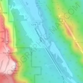
Name: Brambuk - The National Park and Cultural Centre Park topographic map, elevation, terrain.
Average elevation: 1,220 ft
Minimum elevation: 732 ft
Maximum elevation: 2,402 ft
Other topographic maps
Click on a map to view its topography, its elevation and its terrain.
Boroka Lookout
Australia > Victoria > Halls Gap
Boroka Lookout, Boroka Track, Halls Gap, Shire of Northern Grampians, Victoria, 3381, Australia
Average elevation: 2,014 ft