
抚松县 topographic map
Interactive map
Click on the map to display elevation.
About this map
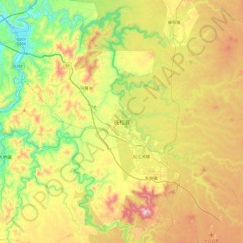
Name: 抚松县 topographic map, elevation, terrain.
Location: 抚松县, 白山市, 吉林省, 中国 (42.05804 127.28360 42.37804 127.60360)
Average elevation: 2,438 ft
Minimum elevation: 1,371 ft
Maximum elevation: 3,953 ft
Other topographic maps
Click on a map to view its topography, its elevation and its terrain.