
Monte Vista topographic map
Interactive map
Click on the map to display elevation.
About this map
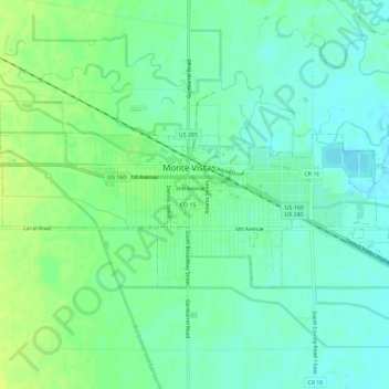
Name: Monte Vista topographic map, elevation, terrain.
Location: Monte Vista, Rio Grande County, Colorado, 81144, USA (37.56754 -106.17731 37.58941 -106.11988)
Average elevation: 7,667 ft
Minimum elevation: 7,641 ft
Maximum elevation: 7,697 ft