Geolocate

Mount Raung topographic map

Click on the map to display elevation.

About this map

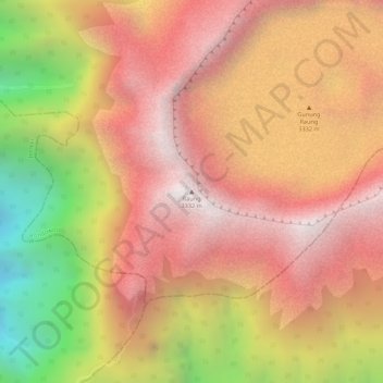
Name: Mount Raung topographic map, elevation, terrain.

Location: Mount Raung, Bondowoso, East Java, Java, Indonesia (-8.12562 114.04662 -8.12552 114.04672)

Average elevation: 9,213 ft

Minimum elevation: 6,444 ft

Maximum elevation: 10,778 ft

Gear up for your next adventure:

🌄Hiking Binoculars - Compact binoculars for scenic views and trail spotting
🧭Map Reading Tools - Tools and kits for map navigation
🪶Trail Camera - Capture wildlife on your hikes
🥇GPS Hiking Watch - Multi‑sport GPS watch with navigation and trail tracking
🌐World Map Poster - Decorative world maps with topographic info

As an Amazon Associate, this site earns from qualifying purchases at no extra cost to you.