
Kasiyalekh topographic map
Interactive map
Click on the map to display elevation.
About this map
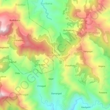
Name: Kasiyalekh topographic map, elevation, terrain.
Location: Kasiyalekh, Dhari, Nainital, 263138, India (29.40825 79.61303 29.44825 79.65303)
Average elevation: 6,532 ft
Minimum elevation: 5,561 ft
Maximum elevation: 7,635 ft