
Río Tenguel topographic map
Interactive map
Click on the map to display elevation.
About this map
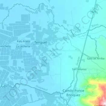
Name: Río Tenguel topographic map, elevation, terrain.
Location: Río Tenguel, Camilo Ponce Enríquez, Azuay, Ecuador (-3.03157 -79.84472 -2.98776 -79.70486)
Average elevation: 161 ft
Minimum elevation: -3 ft
Maximum elevation: 3,468 ft