
Dornitz topographic map
Interactive map
Click on the map to display elevation.
About this map
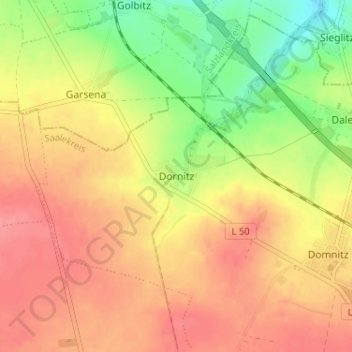
Name: Dornitz topographic map, elevation, terrain.
Location: Dornitz, Wettin-Löbejün, Saalekreis, Saxe-Anhalt, Allemagne (51.61993 11.79059 51.65993 11.83059)
Average elevation: 446 ft
Minimum elevation: 295 ft
Maximum elevation: 551 ft