
Benhar topographic map
Interactive map
Click on the map to display elevation.
About this map
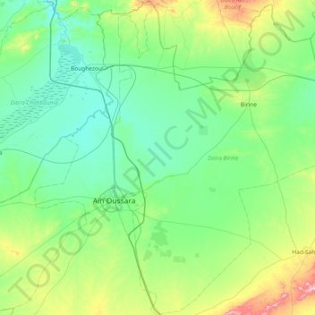
Name: Benhar topographic map, elevation, terrain.
Location: Benhar, Daïra Birine, Djelfa, 17001, Algérie (35.22862 2.90333 35.83238 3.22911)
Average elevation: 2,392 ft
Minimum elevation: 2,018 ft
Maximum elevation: 4,009 ft