Geolocate

Challa topographic map

Click on the map to display elevation.

About this map
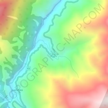
Name: Challa topographic map, elevation, terrain.

Location: Challa, Municipio Coroico, Provincia Nor Yungas, La Paz, Bolivia (-16.11290 -67.71661 -16.07290 -67.67661)

Average elevation: 4,790 ft

Minimum elevation: 2,822 ft

Maximum elevation: 7,628 ft

Other topographic maps

Click on a map to view its topography, its elevation and its terrain.

Coroico

Bolivia > La Paz > Provincia Nor Yungas > Municipio Coroico

Average elevation: 4,961 ft

Gear up for your next adventure:

🌲Outdoor Survival Books - Best books on survival skills
👖Convertible Hiking Pants - Versatile zip-off pants for changing altitudes and temperatures
🏫Relief Map Kits - Hands-on tools for teaching landforms and elevation
😴Insulated Sleeping Pads - Compact and warm pads for high-elevation camping
👓Polarized Sunglasses - Outdoor sunglasses for glare reduction

As an Amazon Associate, this site earns from qualifying purchases at no extra cost to you.