
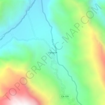
Llanguat topographic map
Interactive map
Click on the map to display elevation.
About this map
Name: Llanguat topographic map, elevation, terrain.
Location: Llanguat, Celendín, Cajamarca, Perú (-6.79872 -78.19897 -6.75872 -78.15897)
Average elevation: 6,099 ft
Minimum elevation: 4,518 ft
Maximum elevation: 9,423 ft