
Raheen ED topographic map
Interactive map
Click on the map to display elevation.
About this map
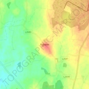
Name: Raheen ED topographic map, elevation, terrain.
Location: Raheen ED, Raheen, County Laois, Leinster, Ireland (52.94501 -7.38952 52.98501 -7.34952)
Average elevation: 338 ft
Minimum elevation: 259 ft
Maximum elevation: 427 ft