
Blackridge topographic map
Interactive map
Click on the map to display elevation.
About this map
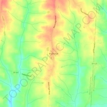
Name: Blackridge topographic map, elevation, terrain.
Location: Blackridge, Mecklenburg County, Virginia, 23950, USA (36.62515 -78.07694 36.66515 -78.03694)
Average elevation: 328 ft
Minimum elevation: 233 ft
Maximum elevation: 413 ft