
Dharamkot topographic map
Interactive map
Click on the map to display elevation.
About this map
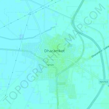
Name: Dharamkot topographic map, elevation, terrain.
Location: Dharamkot, Firozpur, Punjab, India (30.92661 75.21926 30.95773 75.24685)
Average elevation: 725 ft
Minimum elevation: 719 ft
Maximum elevation: 735 ft