
Linthal topographic map
Interactive map
Click on the map to display elevation.
About this map
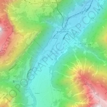
Name: Linthal topographic map, elevation, terrain.
Location: Linthal, Glarona, 8783, Svizzera (46.89860 8.97737 46.93860 9.01737)
Average elevation: 3,596 ft
Minimum elevation: 2,018 ft
Maximum elevation: 6,713 ft