
Schoonover Knob topographic map
Interactive map
Click on the map to display elevation.
About this map
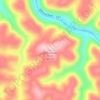
Name: Schoonover Knob topographic map, elevation, terrain.
Location: Schoonover Knob, Clay County, West Virginia, United States (38.43200 -81.13960 38.43210 -81.13950)
Average elevation: 1,158 ft
Minimum elevation: 646 ft
Maximum elevation: 1,499 ft