
Hensies topographic map
Interactive map
Click on the map to display elevation.
About this map
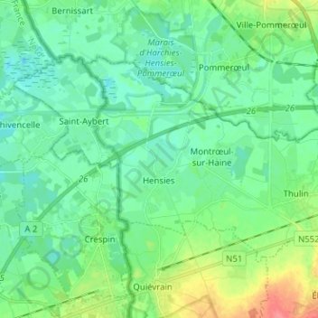
Name: Hensies topographic map, elevation, terrain.
Location: Hensies, Mons, Hainaut, Wallonia, 7350, Belgium (50.41204 3.65552 50.46400 3.78153)
Average elevation: 79 ft
Minimum elevation: 26 ft
Maximum elevation: 226 ft