
Robechies topographic map
Interactive map
Click on the map to display elevation.
About this map
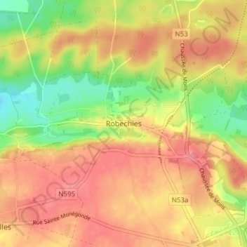
Name: Robechies topographic map, elevation, terrain.
Location: Robechies, Thuin, Hainaut, Wallonia, 6460, Belgium (50.05280 4.25838 50.09280 4.29838)
Average elevation: 794 ft
Minimum elevation: 646 ft
Maximum elevation: 889 ft