
Thank you for supporting this site ❤️
Make a donation
Make a donation
Gear up for your next adventure:
As an Amazon Associate, this site earns from qualifying purchases at no extra cost to you.
Tinduf topographic map
Click on the map to display elevation.
Thank you for supporting this site ❤️
Make a donation
Make a donation
Gear up for your next adventure:
As an Amazon Associate, this site earns from qualifying purchases at no extra cost to you.
About this map
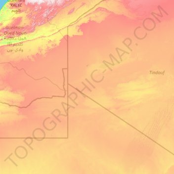
Name: Tinduf topographic map, elevation, terrain.
Location: Tinduf, Tinduf Disctrict, Tinduf, Algeria (25.51348 -8.66891 28.92102 -3.98610)
Average elevation: 1,427 ft
Minimum elevation: 0 ft
Maximum elevation: 4,337 ft
Thank you for supporting this site ❤️
Make a donation
Make a donation
Gear up for your next adventure:
As an Amazon Associate, this site earns from qualifying purchases at no extra cost to you.