
Hertingshausen topographic map
Interactive map
Click on the map to display elevation.
About this map
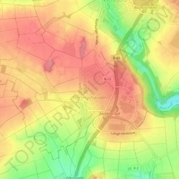
Name: Hertingshausen topographic map, elevation, terrain.
Location: Hertingshausen, Baunatal, Landkreis Kassel, Hessen, Deutschland (51.22023 9.39321 51.24217 9.43797)
Average elevation: 715 ft
Minimum elevation: 545 ft
Maximum elevation: 814 ft