
Oventje topographic map
Interactive map
Click on the map to display elevation.
About this map
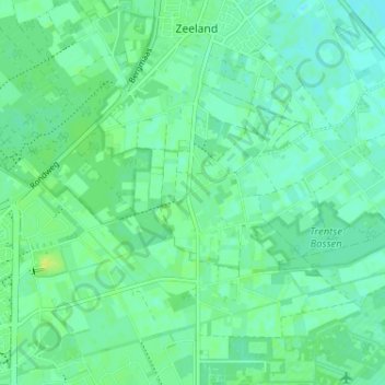
Name: Oventje topographic map, elevation, terrain.
Average elevation: 69 ft
Minimum elevation: 52 ft
Maximum elevation: 95 ft
Other topographic maps
Click on a map to view its topography, its elevation and its terrain.
Graspeel
Nederland > Noord-Brabant > Zeeland > Graspeel
Graspeel, Zeeland, Landerd, Noord-Brabant, Nederland, 5411, Nederland
Average elevation: 62 ft