
Konur topographic map
Interactive map
Click on the map to display elevation.
About this map
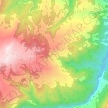
Name: Konur topographic map, elevation, terrain.
Location: Konur, Gülnar, Mersin, Mediterranean Region, Turkey (36.37300 33.26729 36.41300 33.30729)
Average elevation: 3,435 ft
Minimum elevation: 2,461 ft
Maximum elevation: 4,262 ft