
긴마을동 topographic map
Interactive map
Click on the map to display elevation.
About this map
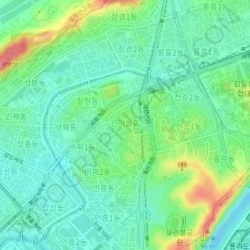
Name: 긴마을동 topographic map, elevation, terrain.
Location: 긴마을동, Moranbong District, P'yŏngyang, North Korea (39.05077 125.74598 39.05815 125.75502)
Average elevation: 89 ft
Minimum elevation: -3 ft
Maximum elevation: 302 ft