
Preacher Creek topographic map
Interactive map
Click on the map to display elevation.
About this map
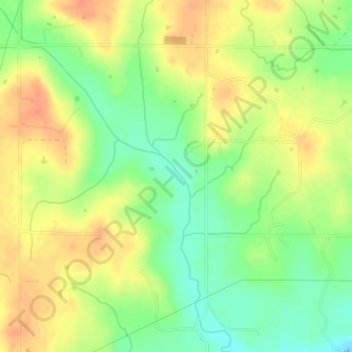
Name: Preacher Creek topographic map, elevation, terrain.
Location: Preacher Creek, Pottawatomie County, Oklahoma, USA (34.95957 -96.84866 34.96284 -96.84591)
Average elevation: 974 ft
Minimum elevation: 896 ft
Maximum elevation: 1,040 ft
Other topographic maps
Click on a map to view its topography, its elevation and its terrain.