
Cabane de la Tourche topographic map
Interactive map
Click on the map to display elevation.
About this map
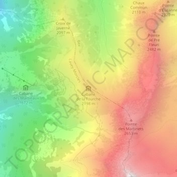
Name: Cabane de la Tourche topographic map, elevation, terrain.
Average elevation: 6,611 ft
Minimum elevation: 3,484 ft
Maximum elevation: 9,606 ft