
Col de Bonnecombe topographic map
Interactive map
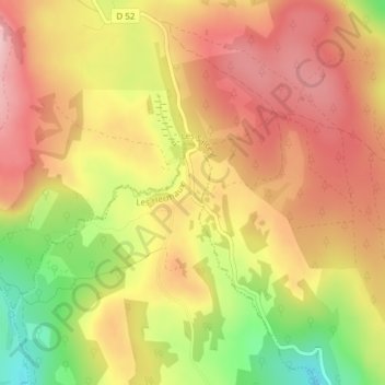
Click on the map to display elevation.
About this map
Name: Col de Bonnecombe topographic map, elevation, terrain.
Average elevation: 4,383 ft
Minimum elevation: 3,970 ft
Maximum elevation: 4,656 ft
Other topographic maps
Click on a map to view its topography, its elevation and its terrain.
Les Salces
France > Occitanie > Les Salces > Les Salces
Les Salces, Mende, Lozère, Occitanie, France métropolitaine, 48100, France
Average elevation: 3,806 ft