
CHALET ALPIN DU TOUR topographic map
Interactive map
Click on the map to display elevation.
About this map
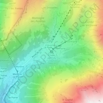
Name: CHALET ALPIN DU TOUR topographic map, elevation, terrain.
Average elevation: 5,722 ft
Minimum elevation: 4,239 ft
Maximum elevation: 8,058 ft