
Puerto Sandino topographic map
Interactive map
Click on the map to display elevation.
About this map
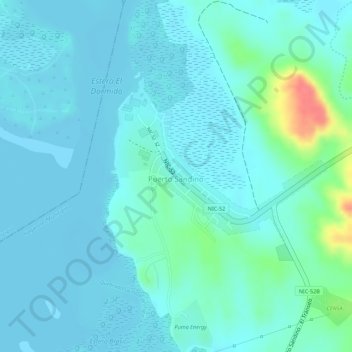
Name: Puerto Sandino topographic map, elevation, terrain.
Location: Puerto Sandino, Nagarote (Municipio), Leon, 22200, Nicaragua (12.19090 -86.76207 12.20080 -86.74814)
Average elevation: 39 ft
Minimum elevation: -7 ft
Maximum elevation: 220 ft