
Changsha topographic map
Interactive map
Click on the map to display elevation.
About this map
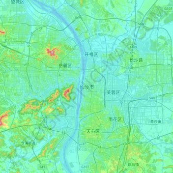
Name: Changsha topographic map, elevation, terrain.
Location: Changsha, District de Yuelu, Changsha, Hunan, 410006, Chine (28.07021 112.77359 28.39021 113.09359)
Average elevation: 197 ft
Minimum elevation: 56 ft
Maximum elevation: 1,122 ft