
Everett topographic map
Interactive map
Click on the map to display elevation.
About this map
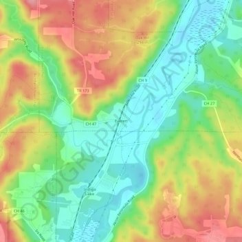
Name: Everett topographic map, elevation, terrain.
Location: Everett, Boston Township, Summit County, Ohio, 44210, USA (41.18450 -81.59234 41.22450 -81.55234)
Average elevation: 843 ft
Minimum elevation: 686 ft
Maximum elevation: 1,043 ft