
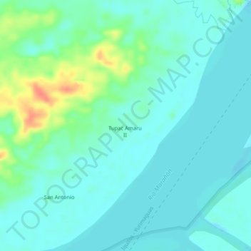
Tupac Amaru II topographic map
Interactive map
Click on the map to display elevation.
About this map
Name: Tupac Amaru II topographic map, elevation, terrain.
Location: Tupac Amaru II, Provincia de Loreto, Loreto, 000, Perú (-4.56148 -73.62836 -4.52148 -73.58836)
Average elevation: 312 ft
Minimum elevation: 276 ft
Maximum elevation: 433 ft