

Coachella Valley topographic map
Click on the map to display elevation.
Coachella Valley
The area is surrounded on the southwest by the Santa Rosa Mountains, by the San Jacinto Mountains to the west, the Little San Bernardino Mountains to the east and San Gorgonio Mountain to the north. These mountains peak at around 11,000 feet (3,400 m) and tend to average between 5,000 and 7,000 feet (1,500 and 2,100 m). Elevations on the Valley floor range from 1,600 feet (490 m) above sea level at the north end of the Valley to 250 feet (76 m) below sea level around Mecca.
About this map
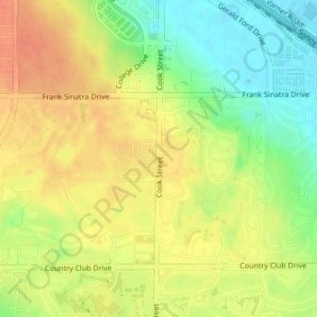
Name: Coachella Valley topographic map, elevation, terrain.
Average elevation: 236 ft
Minimum elevation: 154 ft
Maximum elevation: 299 ft
Riverside County trails, hiking, mountain biking, running and outdoor activities