
Heyuan topographic map
Interactive map
Click on the map to display elevation.
About this map
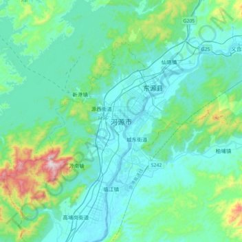
Name: Heyuan topographic map, elevation, terrain.
Location: Heyuan, 源城区 (Yuancheng), 河源市, Guangdong, China (23.58678 114.53545 23.90678 114.85545)
Average elevation: 581 ft
Minimum elevation: 79 ft
Maximum elevation: 3,425 ft
Other topographic maps
Click on a map to view its topography, its elevation and its terrain.