
Бурец topographic map
Interactive map
Click on the map to display elevation.
About this map
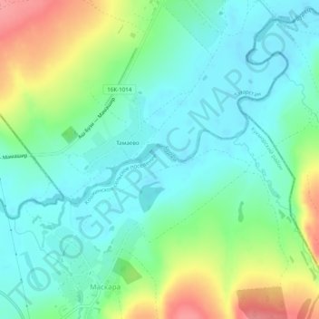
Name: Бурец topographic map, elevation, terrain.
Average elevation: 285 ft
Minimum elevation: 200 ft
Maximum elevation: 472 ft
Other topographic maps
Click on a map to view its topography, its elevation and its terrain.
Бурец
Russland > Tatarstan > Кошкинское сельское поселение
Бурец, Кошкинское сельское поселение, Кукморский район, Tatarstan, Föderationskreis Wolga, 422115, Russland
Average elevation: 285 ft