
Walcheren topographic map
Interactive map
Click on the map to display elevation.
About this map
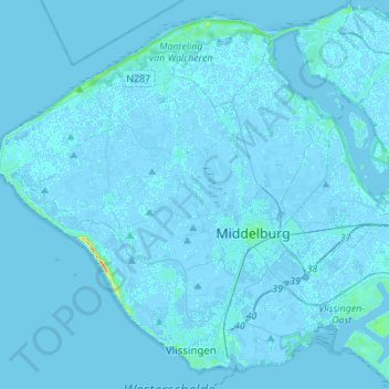
Name: Walcheren topographic map, elevation, terrain.
Location: Walcheren, Veere, Seeland, Niederlande (51.43817 3.43203 51.59506 3.70681)
Average elevation: 0 ft
Minimum elevation: -13 ft
Maximum elevation: 118 ft