
Laneville topographic map
Interactive map
Click on the map to display elevation.
About this map
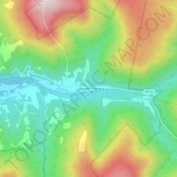
Name: Laneville topographic map, elevation, terrain.
Location: Laneville, Tucker County, West Virginia, 26263, USA (38.95400 -79.43727 38.99400 -79.39727)
Average elevation: 3,199 ft
Minimum elevation: 2,379 ft
Maximum elevation: 4,432 ft