
Bytča topographic map
Interactive map
Click on the map to display elevation.
About this map
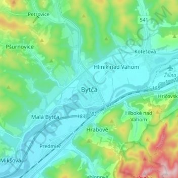
Name: Bytča topographic map, elevation, terrain.
Location: Bytča, Région de Žilina, Slovaquie centrale, 014 01, Slovaquie (49.18357 18.51868 49.26357 18.59868)
Average elevation: 1,293 ft
Minimum elevation: 955 ft
Maximum elevation: 2,572 ft