
Jong topographic map
Interactive map
Click on the map to display elevation.
About this map
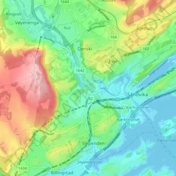
Name: Jong topographic map, elevation, terrain.
Location: Jong, Bærum, Viken, 1336, Norway (59.87353 10.48260 59.91353 10.52260)
Average elevation: 194 ft
Minimum elevation: -3 ft
Maximum elevation: 577 ft