
Grasslands topographic map
Interactive map
Click on the map to display elevation.
About this map
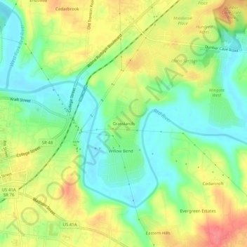
Name: Grasslands topographic map, elevation, terrain.
Location: Grasslands, Montgomery County, Tennessee, 37040, USA (36.51783 -87.34640 36.55783 -87.30640)
Average elevation: 466 ft
Minimum elevation: 364 ft
Maximum elevation: 594 ft