
La Loma topographic map
Interactive map
Click on the map to display elevation.
About this map
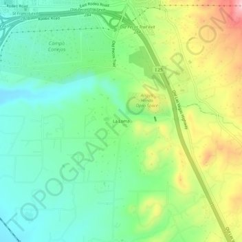
Name: La Loma topographic map, elevation, terrain.
Location: La Loma, Santa Fe County, New Mexico, 87504, USA (35.59948 -105.95058 35.63948 -105.91058)
Average elevation: 7,096 ft
Minimum elevation: 6,818 ft
Maximum elevation: 7,615 ft