
G 29 topographic map
Interactive map
Click on the map to display elevation.
About this map
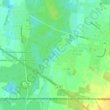
Name: G 29 topographic map, elevation, terrain.
Location: G 29, Kolkwitz, Spree-Neiße, Brandemburgo, Alemania (51.75510 14.14355 51.75520 14.14365)
Average elevation: 217 ft
Minimum elevation: 180 ft
Maximum elevation: 266 ft