
Opmeer topographic map
Interactive map
Click on the map to display elevation.
About this map
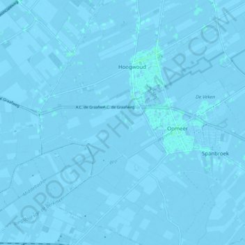
Name: Opmeer topographic map, elevation, terrain.
Location: Opmeer, North Holland, Netherlands (52.69119 4.89985 52.71750 4.98611)
Average elevation: -3 ft
Minimum elevation: -16 ft
Maximum elevation: 7 ft
Dutch Topographic map of the municipality of Opmeer, June 2015