
Auria topographic map
Interactive map
Click on the map to display elevation.
About this map
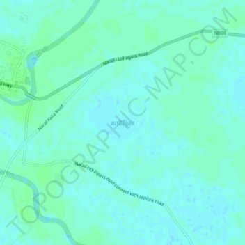
Name: Auria topographic map, elevation, terrain.
Location: Auria, Narail District, Khulna Division, Bangladesh (23.14514 89.50965 23.18514 89.54965)
Average elevation: 20 ft
Minimum elevation: 10 ft
Maximum elevation: 33 ft