
Spring Hill topographic map
Interactive map
Click on the map to display elevation.
About this map
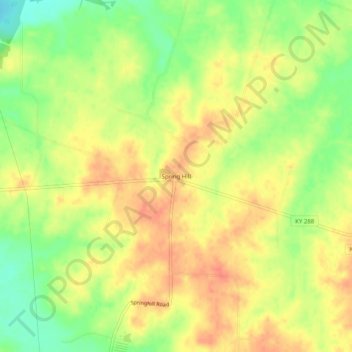
Name: Spring Hill topographic map, elevation, terrain.
Location: Spring Hill, Hickman County, Kentucky, USA (36.71728 -88.99173 36.75728 -88.95173)
Average elevation: 397 ft
Minimum elevation: 302 ft
Maximum elevation: 463 ft