
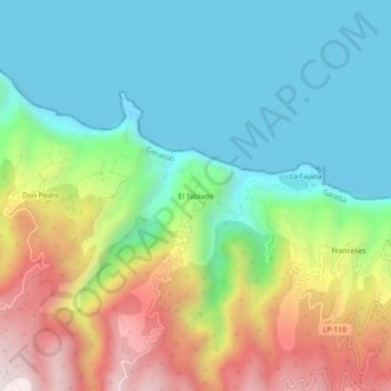
El Tablado topographic map
Interactive map
Click on the map to display elevation.
About this map
Name: El Tablado topographic map, elevation, terrain.
Location: El Tablado, Santa Cruz de Tenerife, Canarias, 38728, España (28.81312 -17.89706 28.85312 -17.85706)
Average elevation: 1,027 ft
Minimum elevation: -46 ft
Maximum elevation: 3,064 ft