
Sălașu de Sus topographic map
Interactive map
Click on the map to display elevation.
About this map
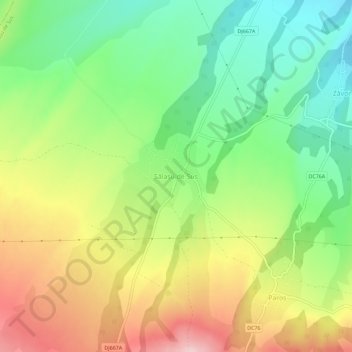
Name: Sălașu de Sus topographic map, elevation, terrain.
Location: Sălașu de Sus, Hunedoara, 337420, Romania (45.48940 22.93358 45.52940 22.97358)
Average elevation: 1,611 ft
Minimum elevation: 1,273 ft
Maximum elevation: 2,057 ft