Canton Santa Ana topographic map
Interactive map
Click on the map to display elevation.
About this map
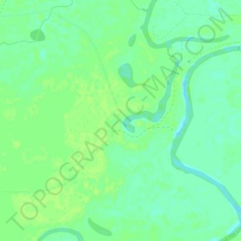
Name: Canton Santa Ana topographic map, elevation, terrain.
Average elevation: 459 ft
Minimum elevation: 436 ft
Maximum elevation: 469 ft

Click on the map to display elevation.
Name: Canton Santa Ana topographic map, elevation, terrain.
Average elevation: 459 ft
Minimum elevation: 436 ft
Maximum elevation: 469 ft