
Kozia Góra topographic map
Interactive map
Click on the map to display elevation.
About this map
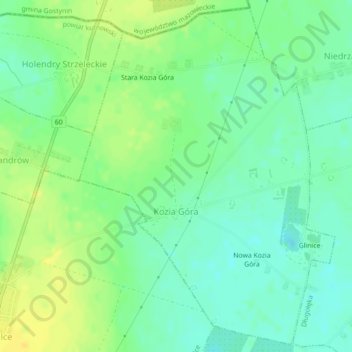
Name: Kozia Góra topographic map, elevation, terrain.
Average elevation: 410 ft
Minimum elevation: 374 ft
Maximum elevation: 453 ft
Other topographic maps
Click on a map to view its topography, its elevation and its terrain.
Kutno
Poland > Łódź Voivodeship > Kutno County > Kutno
Kutno, Kutno County, Łódź Voivodeship, Poland
Average elevation: 374 ft