
Las Casillas topographic map
Interactive map
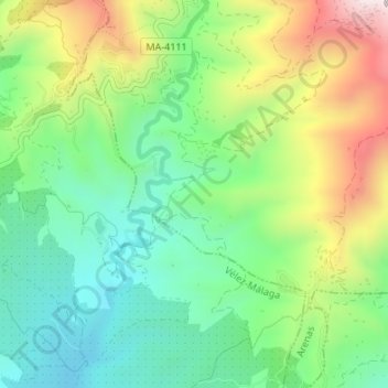
Click on the map to display elevation.
About this map
Name: Las Casillas topographic map, elevation, terrain.
Average elevation: 863 ft
Minimum elevation: 180 ft
Maximum elevation: 2,067 ft
Other topographic maps
Click on a map to view its topography, its elevation and its terrain.
Arenas
Spanje > Andalusië > La Axarquía > Arenas
Arenas, La Axarquía, Málaga, Andalusië, Spanje
Average elevation: 1,158 ft