
Jateh topographic map
Interactive map
Click on the map to display elevation.
About this map
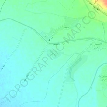
Name: Jateh topographic map, elevation, terrain.
Average elevation: 381 ft
Minimum elevation: 348 ft
Maximum elevation: 482 ft
Other topographic maps
Click on a map to view its topography, its elevation and its terrain.
Dezful
Iran > Khuzestan Province > Dezful County
Dezful, بخش مرکزی, Dezful County, Khuzestan Province, Iran
Average elevation: 449 ft