
Abbeyland and Charlestown or Ballynamonaster topographic map
Interactive map
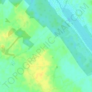
Click on the map to display elevation.
About this map
Name: Abbeyland and Charlestown or Ballynamonaster topographic map, elevation, terrain.
Average elevation: 213 ft
Minimum elevation: 180 ft
Maximum elevation: 262 ft
Other topographic maps
Click on a map to view its topography, its elevation and its terrain.
Athlone
Athlone, County Westmeath, Leinster, Ireland
Average elevation: 141 ft
Torque
Torque, Newtown ED, The Municipal District of Athlone — Moate, County Westmeath, Leinster, Ireland
Average elevation: 302 ft
Meehan
Meehan, Moydrum ED, The Municipal District of Athlone — Moate, County Westmeath, Leinster, Ireland
Average elevation: 131 ft
Ballymore
Ireland > County Westmeath > Ballymore
Ballymore, The Municipal District of Athlone — Moate, County Westmeath, Leinster, Ireland
Average elevation: 272 ft